Satlas
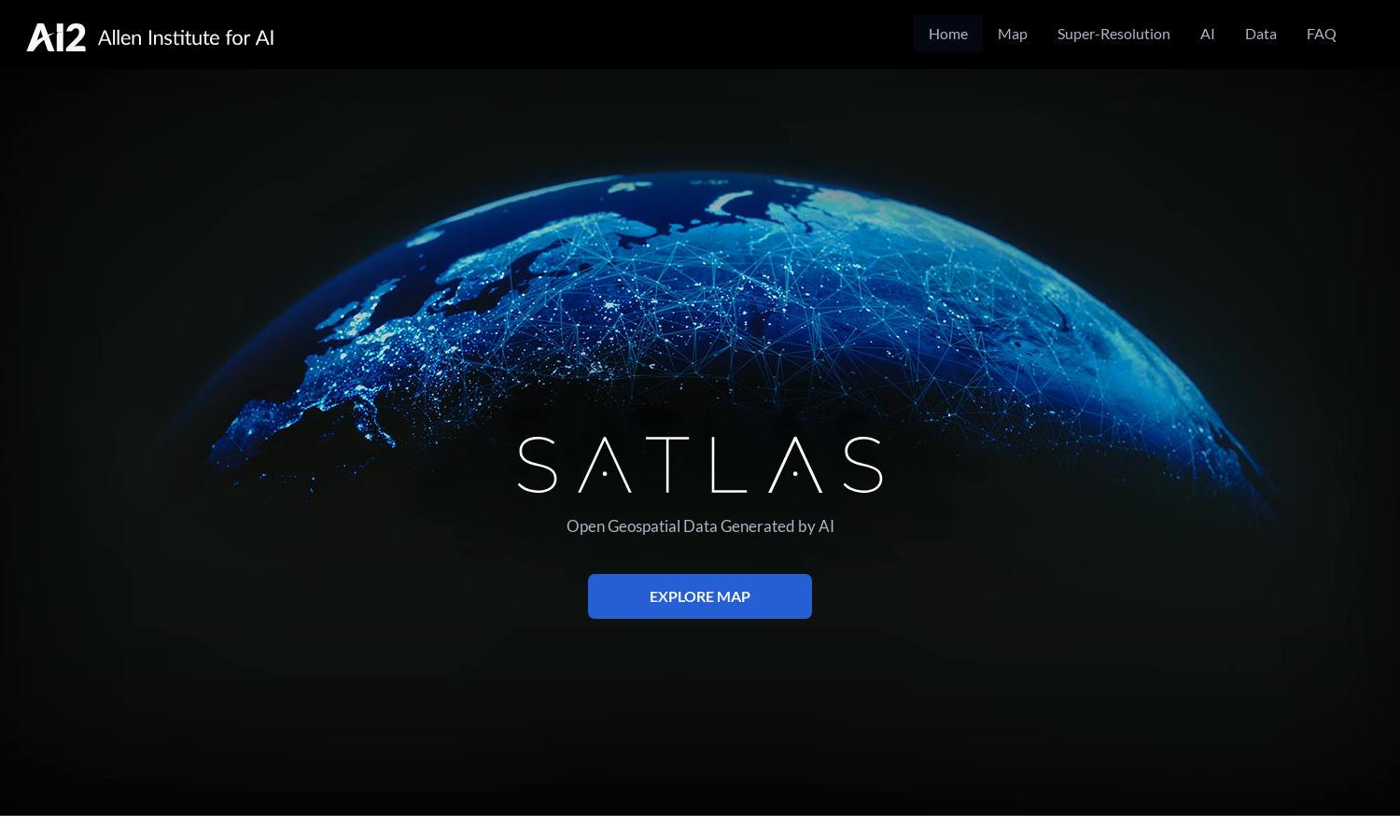
About Satlas
Satlas is an innovative platform that empowers users to explore Earth's changes using AI-enhanced satellite imagery. It combines advanced computer vision technologies with extensive geospatial datasets, enabling researchers, environmentalists, and policymakers to visualize and analyze crucial data, solving global monitoring challenges effectively.
Satlas offers free access to its AI-generated datasets and models. Users can download comprehensive geospatial data for offline analysis. While core features remain free, premium plans may offer additional data layers and advanced models, streamlining access to deeper insights for strategic decision-making.
The user interface of Satlas is designed for seamless exploration of satellite imagery. Its intuitive layout allows users to effortlessly navigate through data layers, and the super-resolution feature enhances visuals, making complex geospatial information easily accessible and understandable while providing a streamlined browsing experience.
How Satlas works
To get started with Satlas, users simply create an account and log in. The platform offers an intuitive dashboard displaying various geospatial datasets. Users can navigate through layers, utilize AI super-resolution features, and analyze changes in infrastructure and environment over time, facilitating informed research and decision-making.
Key Features for Satlas
AI-annotated satellite imagery
Satlas features AI-annotated satellite imagery, providing users with enhanced visuals to monitor global changes. This unique feature enables easy identification of structural developments and environmental shifts, making Satlas a vital tool for researchers and decision-makers interested in geospatial analysis for sustainable development.
Super-resolution enhancement
The super-resolution enhancement in Satlas allows users to transform low-resolution satellite images into high-quality visuals. This remarkable feature offers detailed insight into infrastructure development across the globe, enabling more precise assessments and aiding in informed decision-making regarding environmental and urban planning.
Open geospatial datasets
Satlas provides open access to its extensive geospatial datasets, empowering users to download and analyze data offline. This feature supports researchers, educators, and environmental advocates by facilitating deeper insights into geographical changes and enabling them to address pressing global challenges effectively.
You may also like: